long map COLOR.jpg long map COLOR.jpg
Size : 958.266 Kb
Type : jpg

Top map: Southern shore of Lake Superior. Early 1800s. Use with question 15.

Second: Wisconsin map for question 32.

MAP of WI w counties.jpg MAP of WI w counties.jpg
Size : 42.45 Kb
Type : jpg
MAP 1854 MITCHEL.jpg MAP 1854 MITCHEL.jpg
Size : 1167.365 Kb
Type : jpg

The next map shows northern Wisconsin prior to the advance of the railroads. Note there is a mail route.  Below, another map shows the railroads that accessed northwest Wisconsin in the 1890s. The bottom map is a satellite view of Lake Namakagon showing the narrows that lead to the dam.

map 2 railroad.jpg 
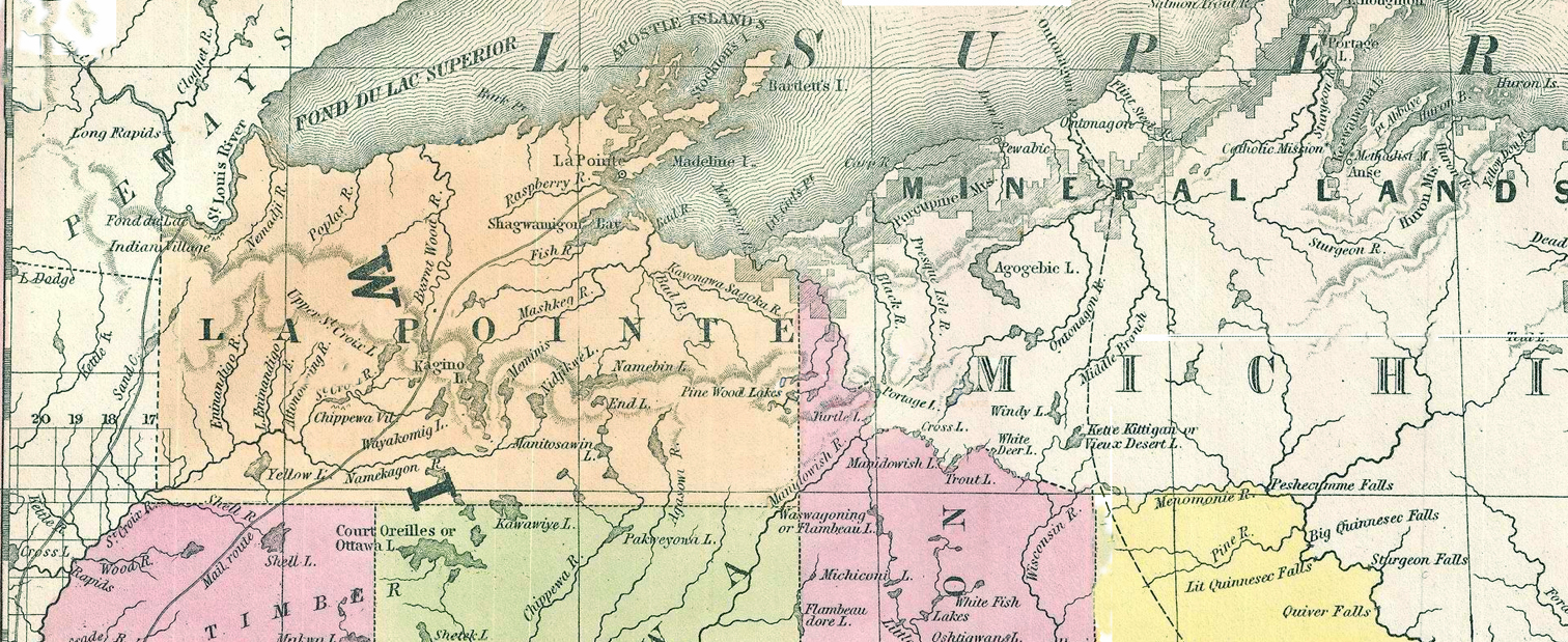
map 2 railroad.jpg
Size : 115.019 Kb
Type : jpg
mapx.jpg mapx.jpg
Size : 556.166 Kb
Type : jpg

La Point Co later became Ashland County. Ashland County was divided into Bayfield and Ashland Counties. Sawyer County was once part of Chippewa County. Rusk County was later split off from Chippewa County, as may be noticed in the lower map.

Make a free website with Yola